Services
Photography & Videography
Bring Your Vision to Life
Set your projects apart with SkyJaya’s aerial photography and cinematography services, delivering dynamic visuals for filmmakers, advertising agencies, and event planners. Our cutting-edge camera systems and stabilization technology ensure flawless footage that makes an impact.
Beyond stunning visuals, our storytelling expertise adds depth to every shot. From framing to composition, our operators bring creativity and precision to each project. And with our end-to-end post-production services, including editing, color grading, and special effects, we help clients create polished, professional content that elevates their brand.
Mapping & Surveying – Precision and Speed
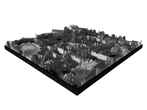
Obtain precise, real-time geospatial data with SkyJaya’s drone-powered mapping and surveying services. Whether for urban planning, infrastructure development, or environmental monitoring, our drones collect accurate data faster and more cost effectively than traditional methods.
We combine GPS, LiDAR, and photogrammetry systems to ensure precise data collection, giving your business an edge in decision-making. We also offer custom software solutions for data processing and analysis, turning raw information into valuable insights. With our industry expertise, you can trust that every project will meet regulatory standards while benefiting from the latest innovation in mapping technology.
Agriculture – Empower Your Farming
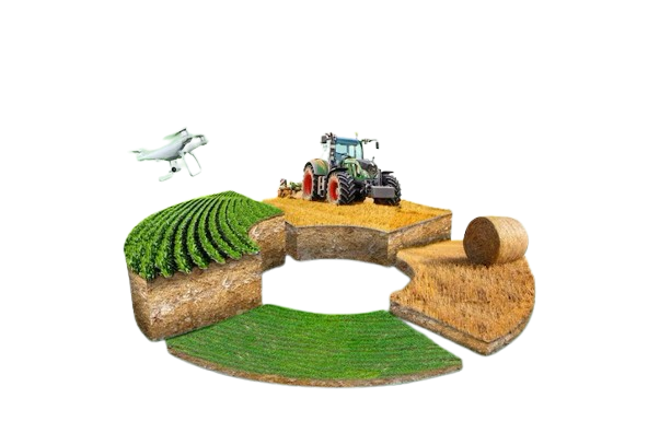
Increase productivity and maximize yields with SkyJaya’s advanced aerial monitoring services. Gain real-time insights into crop health, irrigation needs, and pest control, allowing you to make informed decisions that enhance efficiency and profitability. Our tailored agricultural solutions, including specialized sensors and imaging systems, ensure that every farm operates at peak performance while conserving resources and promoting sustainable growth.
We work closely with agronomists and agricultural experts to transform data into actionable insights that empower you to optimize operations. Additionally, our comprehensive training programs enable farmers to autonomously operate drones, putting cutting-edge technology directly in their hands.
Real Estate & Industrial Applications
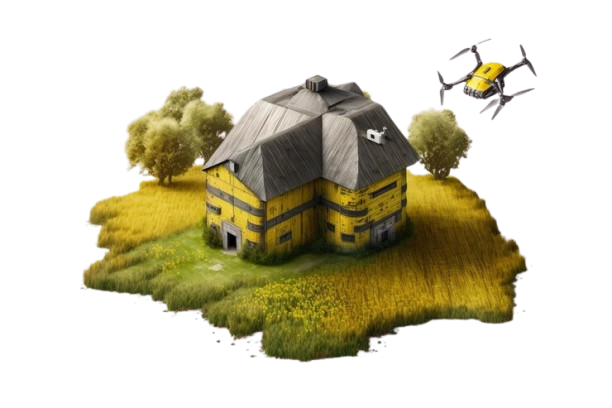
Capture stunning aerial photography and videography for real estate listings or industrial projects with SkyJaya’s industry leading drone services. Our breathtaking visuals help you attract buyers and enhance property listings, while our real-time monitoring solutions allow industrial clients to track construction progress, reducing delays and improving project management.
Our data-driven 3D mapping, thermal imaging, and LiDAR technology, businesses can make better decisions for site planning, asset management, and facility maintenance. Our customized aerial solutions, developed in collaboration with architects, engineers, and facility managers, are designed to boost efficiency, save time, and enhance profitability for any project.
Delivery/Logistics Support
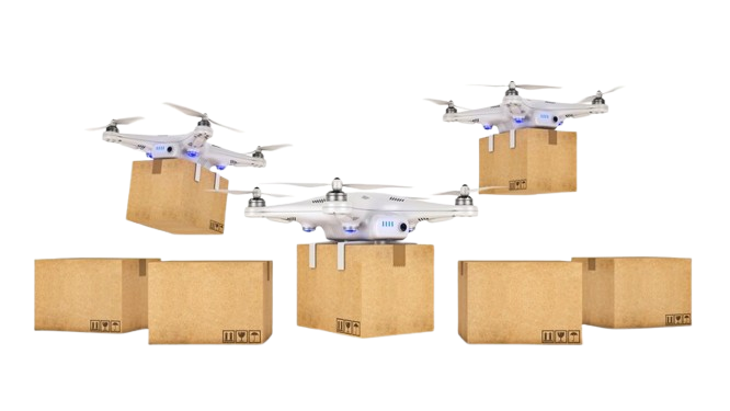
Speed up and streamline your delivery process with SkyJaya’s drone delivery solutions. Designed for industries like ecommerce, logistics, and healthcare, our drones provide fast, reliable transportation of small packages, improving operational efficiency and customer satisfaction.
By leveraging our fleet management expertise, businesses can reduce costs while optimizing delivery speed and safety. We ensure full compliance with aviation regulations and safety standards, reducing risks and ensuring smooth operations. Plus, our partnerships with local authorities and businesses make us an ideal partner for establishing drone delivery corridors that enhance the speed and reliability of your logistics.
Drone Service / Transform Your Event Experience
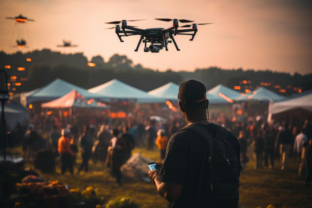
Imagine the impact of aerial footage that not only documents your event but also creates an interactive experience for your guests. Our comprehensive drone solutions provide dynamic visual displays tailored to your event’s needs. With our experienced team, you can add a layer of excitement and innovation that will set your event apart from the rest.
